Published on: October 17, 2025
Workshop on “Satellite Image Processing using Machine Learning” at CSE, SST
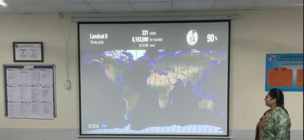
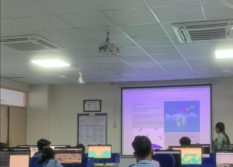
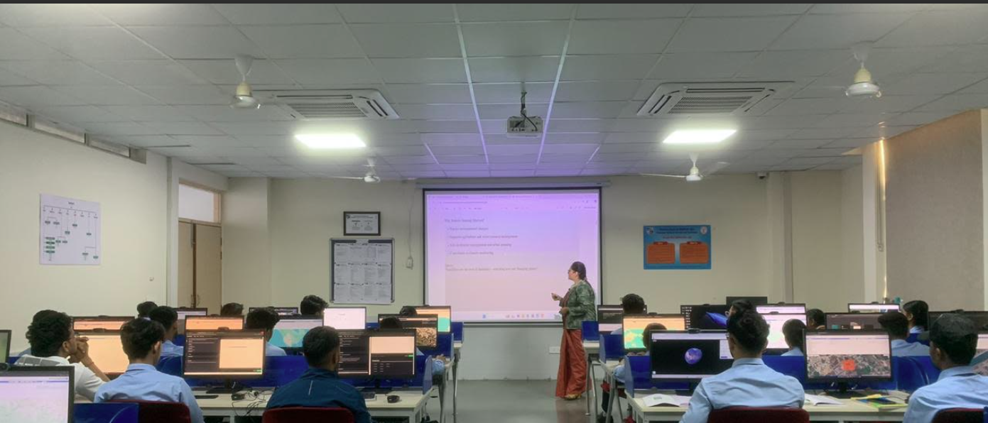
The Department of Computer Science & Engineering, School of Science & Technology (SST), organized a one-day hands-on workshop on “Satellite Image Processing (Sentinel-2) using Machine Learning” on 17th October 2025. The workshop aimed to familiarize students with Sentinel-2 satellite data and demonstrate the application of Machine Learning algorithms for image classification, analysis, and feature extraction. The session covered key aspects of Sentinel-2 imagery, including its structure, wavelength bands, and multispectral capabilities, along with essential preprocessing techniques like cloud masking and normalization.
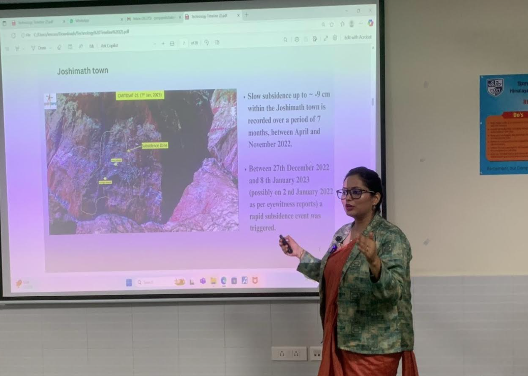
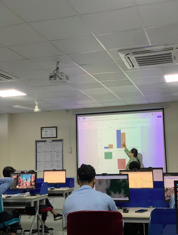
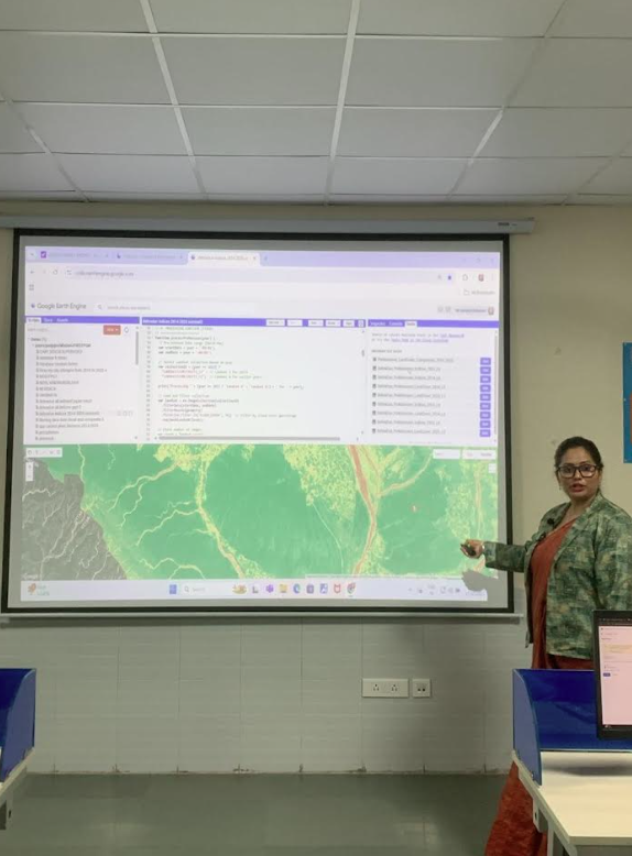
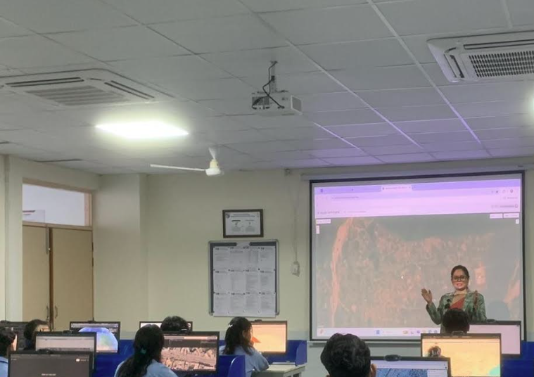
During the workshop, Dr. Pooja Baloni introduced participants to the fundamentals of satellite image processing, focusing on concepts such as spectral reflectance, NDVI computation, and classification models. She provided hands-on guidance on implementing K-Means and Random Forest algorithms for Land Use Land Cover (LULC) classification using Sentinel-2 data. Through practical exercises, students gained direct experience in processing satellite imagery, extracting patterns, and visualizing classified results.
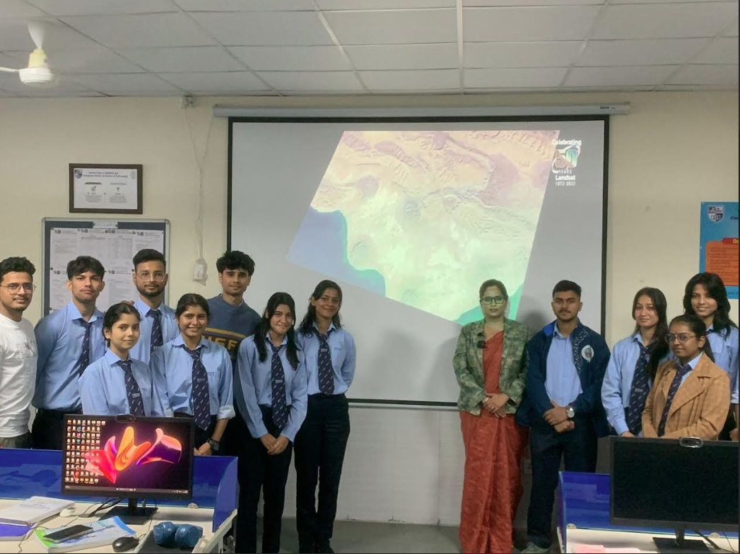
The workshop proved highly beneficial as students enhanced their technical understanding of multispectral data processing and the integration of Machine Learning in remote sensing applications. It encouraged interdisciplinary learning by connecting concepts from computer science, remote sensing, and artificial intelligence, inspiring participants to explore research in areas such as environmental monitoring, urban mapping, and agricultural analysis. The session concluded with an engaging Q&A interaction and group photograph, marking the successful completion of a productive and insightful workshop.